External Data Import
The Import tab lets you bring external geo data — KMZ, KML, or GeoJSON files — into a Frag Order and have it appear as drawing objects in your downloaded .miz file. This is useful for importing targets, boundaries, or control measures created in tools like Google Earth or ATAK.
Supported Formats
| Format | Notes |
|---|---|
| KMZ | Google Earth export; embedded icons are preserved and served by Frag Orders |
| KML | Uncompressed keyhole markup; supports placemarks, paths, and polygons |
| GeoJSON | Standard geo interchange format |
Uploading Data
- Open your Frag Order and click the Import tab.
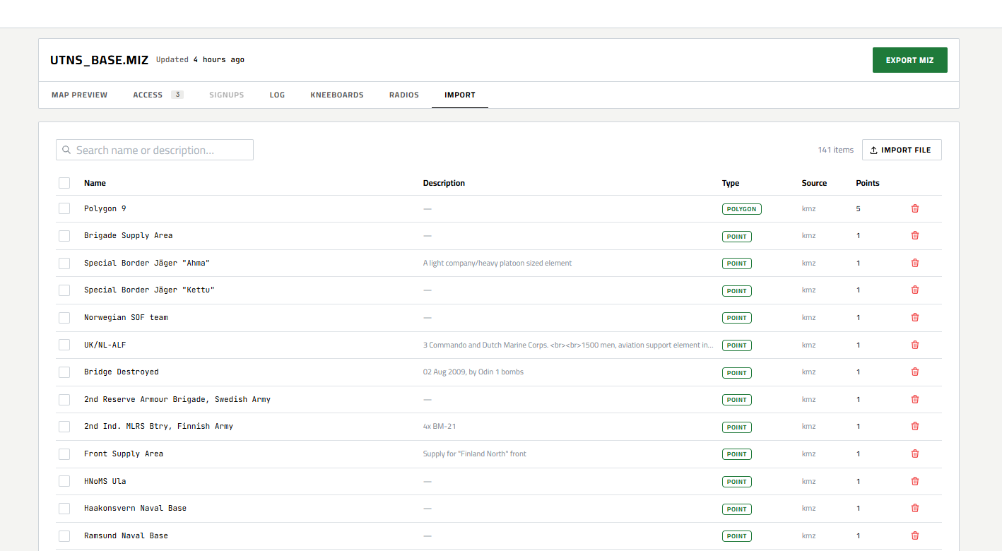
- Click Import File and select your file, or drag and drop it onto the tab.
- Frag Orders analyzes the file and shows a preview: feature count broken down by type (points, lines, polygons).
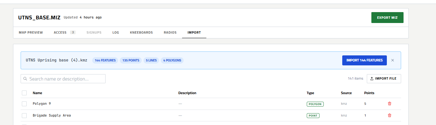
- Click Import to confirm. The features are stored and appear on the map immediately.
Imported items are scoped to the entire Frag Order and are visible to all coalitions unless you restrict them using export targets (see below).
Viewing Imported Data on the Map
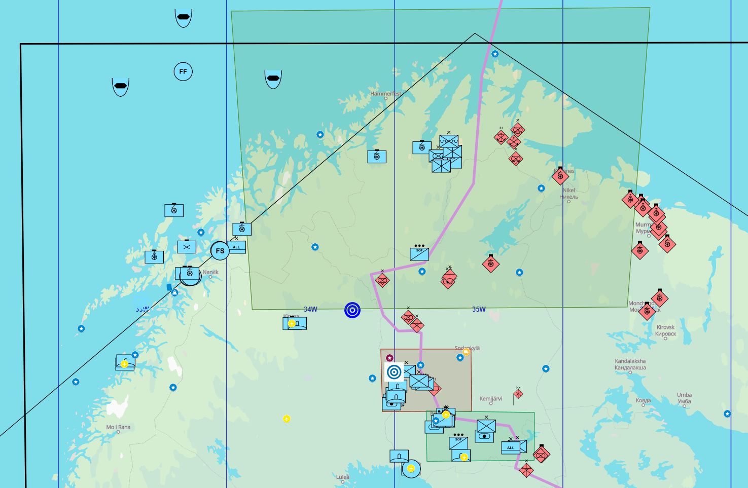
Once imported, features appear on the map as an Imported Data layer. The layer can be toggled via Map Settings. Click any imported feature to open its info popover.
Setting Export Targets
By default, imported items are stored in Frag Orders but are not injected into your .miz. To include an item in the downloaded mission file, you must assign it an export target.
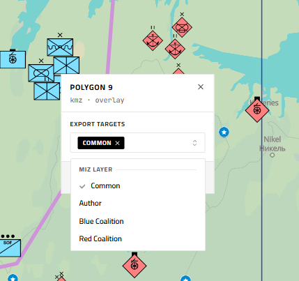
Click an imported feature on the map to open its info popover, then choose one or more targets under Export Targets:
| Target | Description |
|---|---|
| Common | Mission drawing layer visible to all coalitions |
| Author | Author-only drawing layer |
| Blue | Blue coalition drawing layer |
| Red | Red coalition drawing layer |
Each item can be assigned to multiple layers. Saving the targets takes effect immediately — no need to re-upload.
Downloading with Imported Data
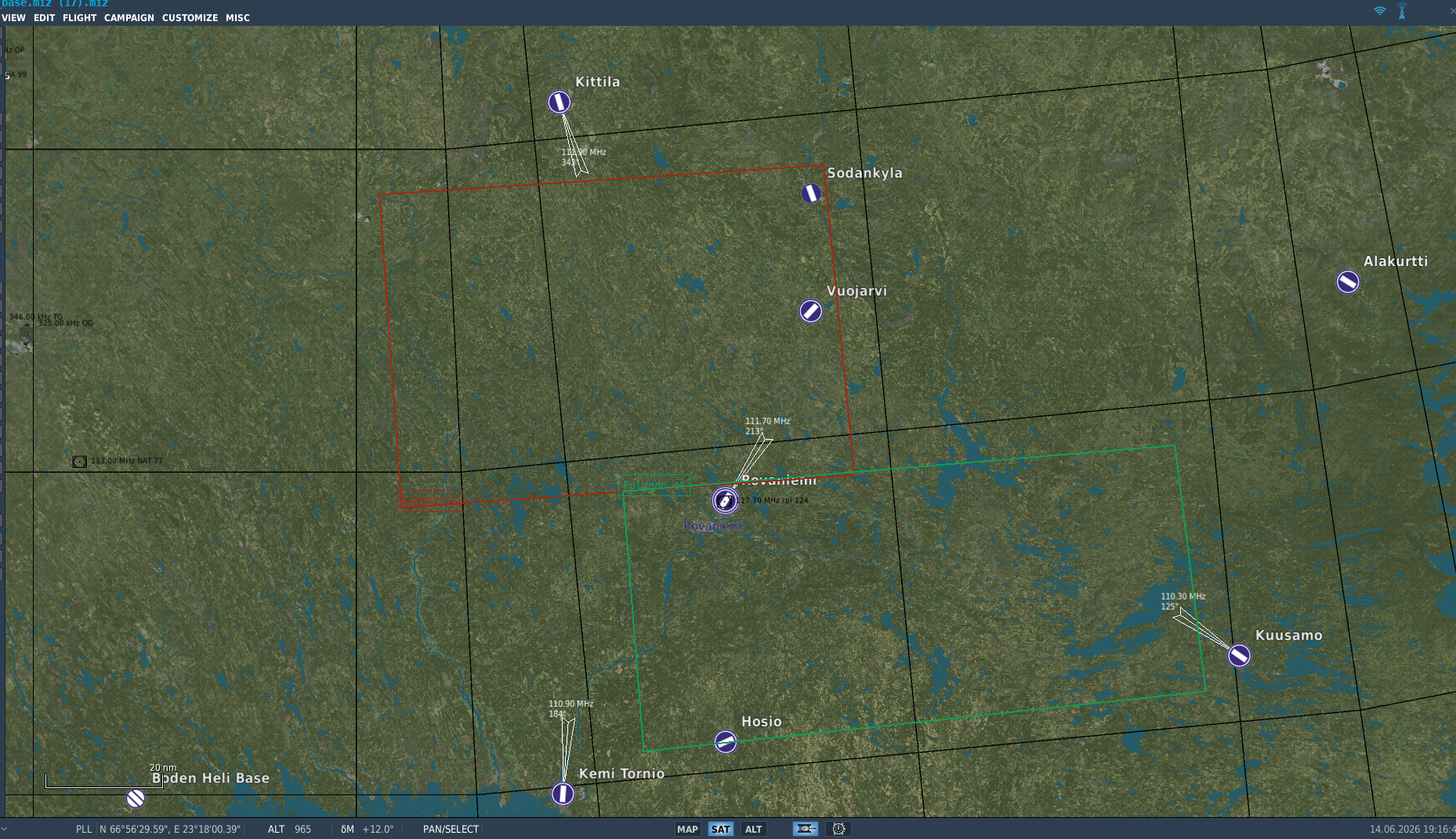
When you download a packaged .miz from the Publish page, any imported items with export targets are automatically injected into the mission's drawing layers. Points become icon markers with a text label; lines and polygons become line/polygon drawings. Colors and styling are carried over from the source file where available.
No changes are made to the original .miz you uploaded — the injection only happens in the downloaded package.
Deleting an Import Item
Open the item's popover on the map and click Delete. The item is removed from Frag Orders and will no longer be injected into future downloads.