Map Overview & Layers
The map is the main workspace in a published Frag Order. It shows all flight routes, ground units, threat rings, and drawings for the selected coalition in a single view.
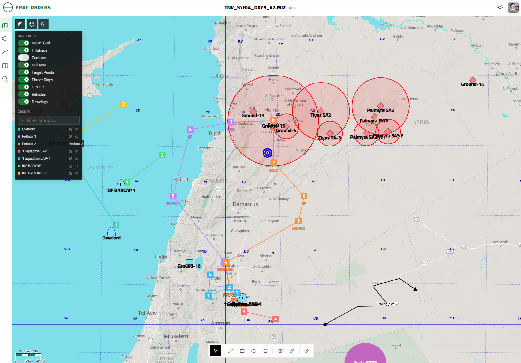
View Modes
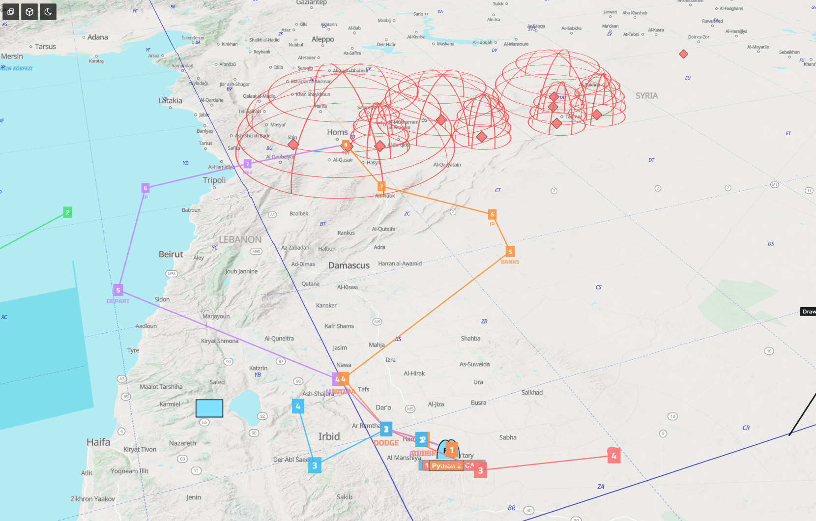
Three buttons in the top-left corner switch the map renderer:
| Button | Mode |
|---|---|
| Map | Standard 2D top-down view (default) |
| Globe | 3D perspective with terrain shading and domed threat rings |
| Dark | Dark base map for low-light briefings |
Layer Controls
The Base Layers panel on the left toggles what is rendered on the map:
| Layer | Description |
|---|---|
| MGRS Grid | Military Grid Reference System overlay |
| Hillshade | Terrain shading derived from elevation data |
| Contours | Elevation contour lines |
| Bullseye | Bullseye reference point from the mission file |
| Target Points | Named target steerpoints |
| Threat Rings | SAM and AAA engagement envelopes from the mission file |
| OPFOR | Enemy ground units |
| Vehicles | All vehicle groups |
| Drawings | Planning drawings added by editors and planners |
Groups Panel
Below the base layers, the Groups panel lists every flight group in the coalition. Each group has two icon buttons:
- Eye — toggle the group's route visibility on the map
- Lock — focus the map on that group's route
Click a group name to highlight its route and jump to it on the map.